Water quality
Get involved and help maintain our rivers
Who is responsible for monitoring the water quality?
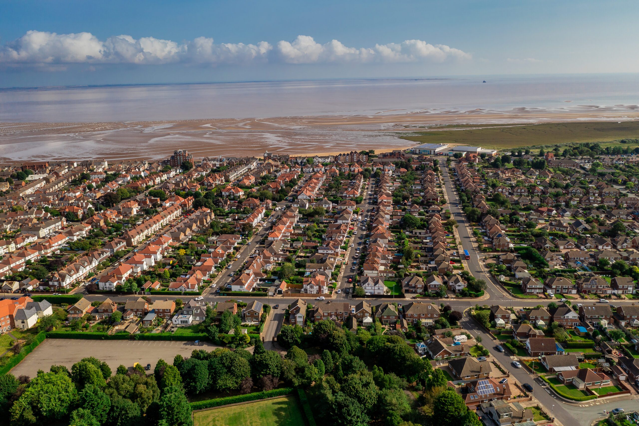
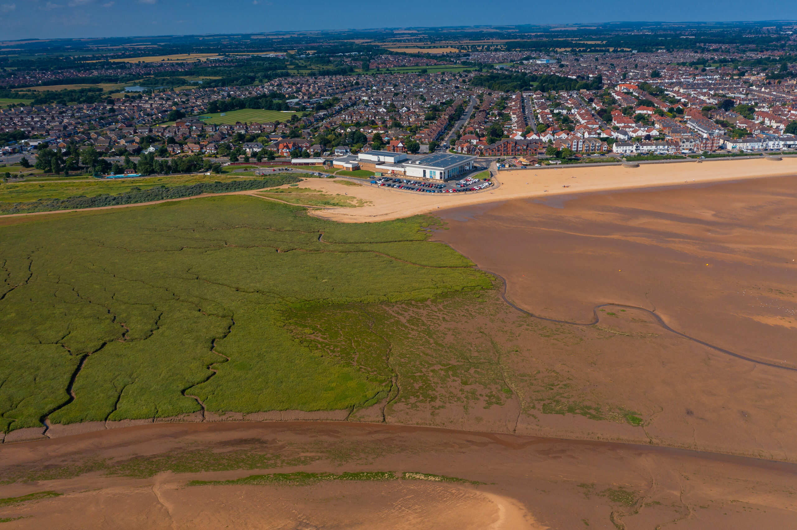
Bathing water
The Environment Agency monitors water quality at designated bathing water sites, to protect the health of people bathing under the ‘Bathing Water Regulations’.
A designated bathing water must:
We work closely with the Environmental Agency and Anglian Water regarding our bathing water designations.
Our designated bathing waters
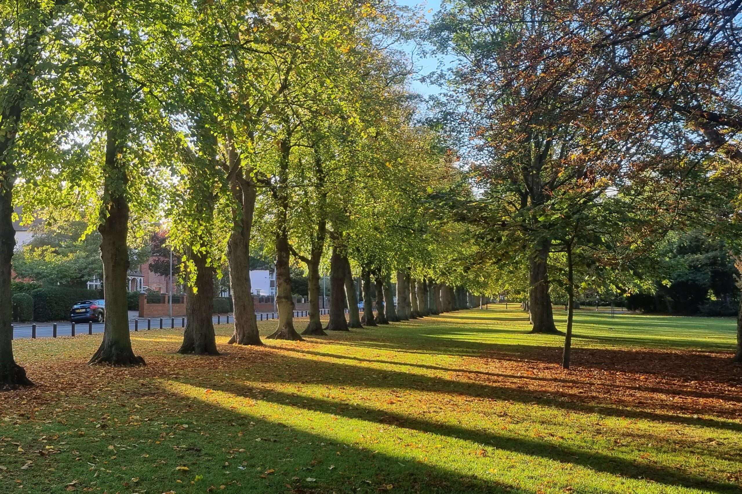
Rivers, chalk streams and blow wells
Biodiversity
Partners and projects
Northern Becks Catchment Based Approach (CaBA)
The Lincolnshire Chalk Streams Partnership (LCSP) established the Northern Becks CaBA Partnership in 2015. As part of the partnership, NELC has agreed to follow the CaBA management plan and their aims to improve the are and its chalk streams.
Flood and Coastal Resilience Innovation Project
Grimsby was one of 25 pilot projects to receive a share of the £150 million Defra funded Flood and Coastal Resilience Innovation Project. You can read about the successful funding bid in the news section of our website.
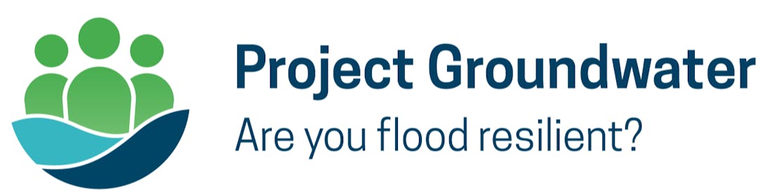
Greater Lincolnshire Ground Water Project
The Council received funding for the Greater Lincolnshire Ground Water Project, working alongside Lincolnshire County Council, the EA, LCSP, Lincolnshire Wildlife Trust, North Lincolnshire Council on Project Groundwater.
Anglian Water
Like NELC, Anglian Water are part of the CaBA partnership and a partner of the LCSP, who they allocate funding to annually and work closely with. See what they are doing to support the environment and to invest in water quality.
Flooding
The council works with the other risk management authorities (the Environment Agency, Anglian Water and the Drainage Boards) to manage the risk of flooding from all sources in the borough.
The website has a dedicated area for flooding guidance and advice, as well as information on who is responsible for the flooding and our policies and strategies.