
Public Rights of Way


North East Lincolnshire Council are part of the Lincolnshire Joint Local Access Forum with Lincolnshire County Council. The Local Access Forum (LAF) is an independent advisory body set up under Section 94 of the Countryside and Rights of Way Act 2000. The forum minutes and agendas can be found on the Lincolnshire County Council website.

Our Public Rights of Way data (PRoW Data files (zip, 136KB) ) is available for your use under the Open Government Licence.

View the Public Spaces Protection Orders (Highways) register at PSPOs.


Public Rights of Way in North East Lincolnshire

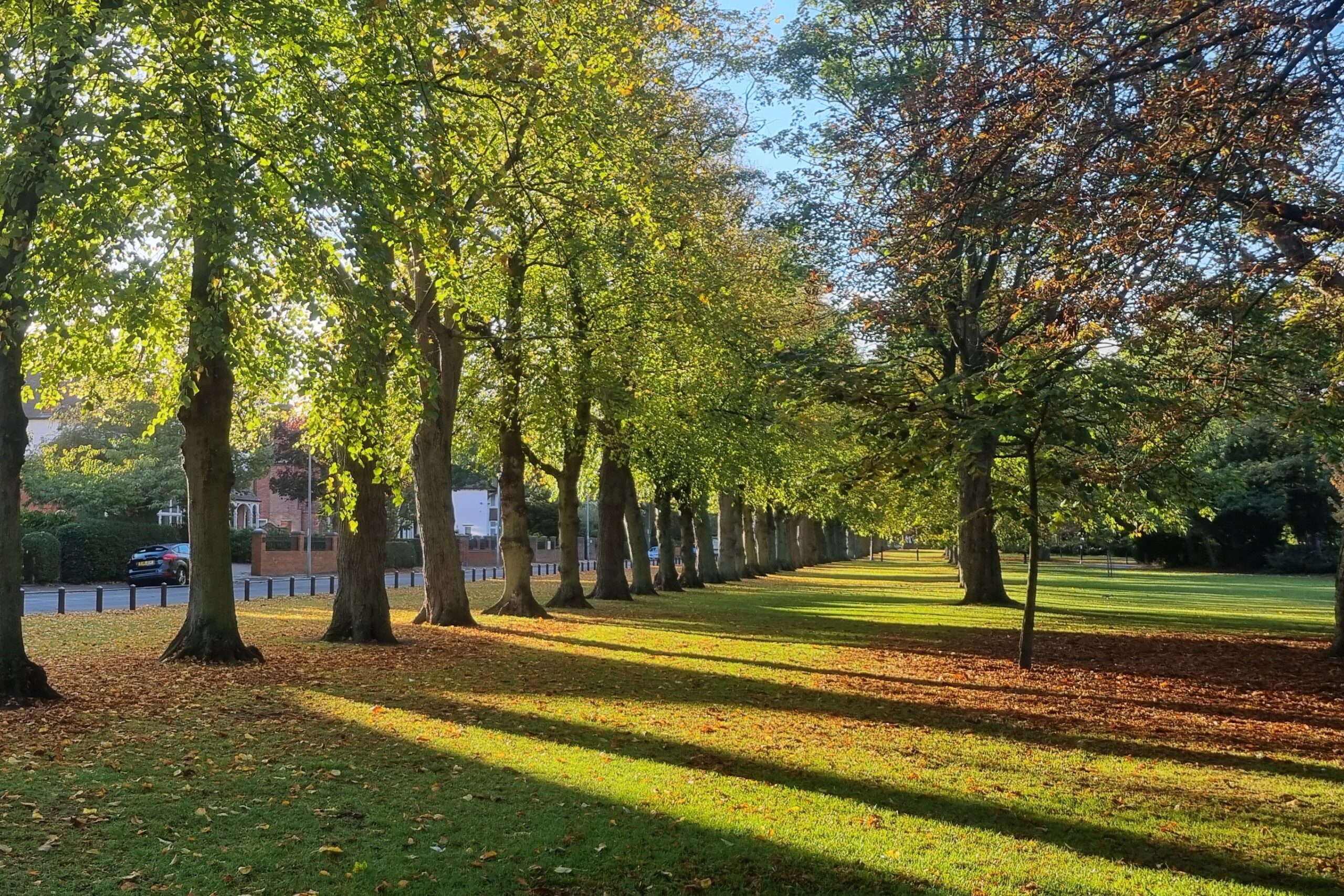
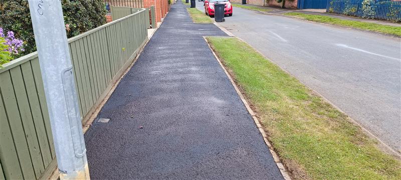
North East Lincolnshire has approximately 200 kilometres of Public Rights of Way including 140 footpaths and 61 bridleways.

We are responsible for the Public Rights of Way in 22 Parishes, and within the urban areas of Grimsby and Cleethorpes.

There are currently no “Restricted Byways” or “Byways Open to all Traffic” recorded on the Definitive Map and Statement.

View the North East Lincolnshire Public Rights of Way storymap or alternatively, view the map of footpaths and bridleways.


Public rights of way policy and improvement plan

The Rights of Way Improvement Plan (PDF, 30MB)  gives a 10 year plan for the management and improvement of our rights of way network. We plan to make sure North East Lincolnshire has provide better public rights for walkers, cyclists, equestrians, including people with limited mobility.

The laws in England and Wales provide you with the right to walk, ride, cycle and drive in public rights of way in the countryside. Public rights of way include footpaths, byways and bridleways. The public can use a public right of way to pass and repass, according to their status:

  • Public footpath – over which the right is on foot only
  • Public bridleway – over which the right of way is on foot, on horseback and on pedal cycle, possibly with an additional right to drive animals
  • Byway open to all traffic – over which there are vehicular rights, but is generally used by walkers, horse riders and cyclists

Public Rights of Way are continually being created through presumed dedication, or by agreement with the Highway Authority. On Public Rights of Way you can:

  • take a pram, pushchair or wheelchair
  • take a dog (on a lead or under close control)
  • take a short route around an illegal obstruction or remove it sufficiently to get past

Public rights of way enforcement policy

We have a duty to protect and assert the right of the public to use and enjoy the public rights of way network. This includes appropriate enforcement action where necessary.

The Enforcement of Public Rights of Way Policy (PDF, 415KB)  explains how we enforce and sets out the legal requirements for owner/occupiers who have land crossed by a public right of way.

The Public Rights of Way Landowner Guide (PDF, 4MB)  provides supporting information for owner/occupiers in respect of paths that cross agricultural land, and sets out our stance in respect of a reinstatement issue.


Definitive map and statement

We have a duty to maintain and publish a Definitive Map and Statement for North East Lincolnshire.

The Definitive Map records the position and status of Public Rights of Way while the Definitive Statement describes each Public Right of Way shown on the Definitive Map.

The Definitive Map and Statement are conclusive evidence for the Public Rights of Way it shows. However, there may be other paths with public rights that are not shown.

To request to view the Definitive Map email [email protected].

Public Rights of Way on the Definitive Map can be changed, deleted and added but the correct legal procedures must be followed. Other changes include:

  • recording paths on the map where it can be shown that the route has acquired public rights
  • the dedication of new routes
  • emergency path closures

Anyone can apply to the council to make an order to change the Definitive Map and Statement if they believe the map is incorrect. These are called Definitive Map Modification Orders and can be made if evidence is found to show that a route:

  • that should be shown is not
  • that is shown should not be on the Definitive Map
  • is shown as having the wrong status (for example shown as a footpath instead of bridleway)
  • is shown on the wrong line
  • should be more precisely defined (for example have its width recorded)

This evidence may be historical (for example old maps, title plans, Enclosure Awards) and/or user evidence, where the public have been using the route uninterrupted for more than 20 years.

The Register of Definitive Map Modification Orders provides information on these types of applications. If you would like to apply for a Definitive Map Modification Order, please email [email protected].

Register of definitive map modification orders

The Definitive Map Modification Orders are listed below. If you need further information on how to claim a public right of way email [email protected]. The register is also available to view in hard copy format by appointment only.

This site is for information only and its content should not be relied upon for any other purpose. North East Lincolnshire Council does not accept any liability arising from use of this information.

Application reference: DMMO7

Parish: Grimsby

Location: Vicarage Gardens / Compton Drive Bargate

OS Grid reference: TA 264,088 to TA 262, 088

Address(es) of any property on which claimed route lies: N/A

Principal town or village: Grimsby

Electoral division: Park

Effect of application: Claimed Footpath

Applicants name and address (If an organisation): N/A

Date application received: 18/03/2008

Date for certification: 14 March 2008

Date set for determination: N/A

Directions to determine application by secretary of state within a specified period: N/A

Date application determined: N/A

Authority’s decision: N/A

If order made, was It confirmed (with or without modifications)?: N/A

If application refused details of any appeal: N/A

Application Details: DMMO7 Application details (PDF, 518KB)

Map: DMMO7 Map (PDF, 1MB)

Application reference: DMMO8

Parish: Grimsby

Location: Macaulay Lane to Newhaven Terrace

OS Grid reference: TA 257, 097 to TA 257, 100

Address(es) of any property on which claimed route lies: N/A

Principal town or village: Grimsby

Electoral division: West Marsh

Effect of application: Claimed Footpath

Applicants name and address (If an organisation): Littlecoates Allotment Association

Date application received: Informal 18 August 1998, Formal 17 April 2008

Date for certification: N/A

Date set for determination: N/A

Directions to determine application by secretary of state within a specified period: N/A

Date application determined: 16/01/2004

Authority’s decision: To add a public footpath to the Definitive Map and Statement

If order made, was it confirmed (with or without modifications)?: N/A

If application refused details of any appeal: N/A

Application Details: DMMO8 Application details (PDF, 307KB)

Map: DMMO8 Map (PDF, 282KB)

Application reference: DMMO11

Parish: Great Coates

Location: Cormorant Drive to to Great Coates Road

OS Grid reference: TA 2327 to TA 215, 234097

Address(es) of any property on which claimed route lies: N/A

Principal town or village: Great Coates

Electoral division: Freshney

Effect of application: Claimed Footpath

Applicants name and address (If an organisation): N/A

Date application received: 22 December 2017

Date for certification: N/A

Date set for determination: N/A

Directions to determine application by secretary of state within a specified period: N/A

Date application determined: N/A

Authority’s decision: N/A

If order made, was It confirmed (with or without modifications)?: N/A

If application refused details of any appeal: N/A

Map: DMMO11 Map (PDF, 493KB)

Application reference: DMMO10

Parish: Laceby

Location: Butt Lane to Public Footpath 110

OS Grid reference: TA 213070 to TA 215, 071

Address(es) of any property on which claimed route lies: N/A

Principal town or village: Laceby

Electoral division: Wolds

Effect of application: Claimed Footpath

Applicants name and address (If an organisation): N/A

Date application received: 2018

Date for certification: 2018

Date set for determination: N/A

Directions to determine application by secretary of state within a specified period: N/A

Date application determined: N/A

Authority’s decision: N/A

If order made, was It confirmed (with or without modifications)?: N/A

If application refused details of any appeal: N/A

Application Details: DMMO12 Application details (PDF, 527KB)

Map: DMMO12 Map (PDF, 844KB)


Public Rights of Way Notices


Landowner statements and deposits

A public right of way, such as a footpath or a bridleway, may be recorded if it is shown that there has been at least 20 years uninterrupted use of a way by the public ‘as of right’ (without force, secrecy or permission). This is known as ‘deemed dedication’.

In addition, a town or village green may be registered if it is shown that the people who live in that area have used an area ‘as of right’ for a period of at least 20 years for the purposes of lawful sports and pastimes.

The landowner can protect their land from deemed dedication of public rights of way and from being registered as a town or village green.

The Highways Act 1980, Section 31(6) provides a way in which landowners (including tenants for life and trustees) can protect their land from public rights of way coming into existence across it as a result of public use.

It requires an application for a map and statement to be lodged with the council outlining the extent of land in their ownership and showing those public rights of way (public footpaths, public bridleways, restricted byways and byways open to all traffic) and highways which cross it.

A landowner would then need to lodge an application for a declaration with the council within 20 years of the initial deposit of a map and statement or any subsequent declaration.

This may, from the date of deposit of the initial map and statement, protect the landowner from any routes being claimed as public rights of way across their land through public use.

The Commons Act 2006, Section 15A(1) provides a way in which landowners can protect their land from being registered as a town or village green.

It requires an application for a statement to be lodged with the council to bring to an end any period which people may have indulged in lawful sports and pastimes on the land together with a map outlining the extent of their landownership.

An application for a further statement would need to be lodged with the County Council within every 20 years of the previous one to continue protection from their land being registered as a town or village green.

The Commons (Registration of Town or Village Greens) and Dedicated Highways (Landowner Statements and Declarations) (England) Regulations 2013 prescribe the form and process for the depositing of, and recording of information relating to:

  1. a deposit under section 31(6) of the1980 Act;
  2. a declaration under section 31(6) of the1980 Act;
  3. a statement under section 15A (1) of the 2006 Act.

The regulations also made provision for a prescribed application form which allows landowners to submit to the authority a single application for both highways and greens purposes. The council can charge a fee to cover the costs of processing any application received.

There is a single application form which allows for both highways statements and declarations, and landowner statements. The application form and guidance can be found on GOV.UK .

Register of landowner deposits (PDF, 354KB)


Contact details