Heritage and conservation
North East Lincolnshire has a rich and diverse historic environment. Evidence of this can be seen through both the built and buried landscape but it is also visible in local culture and tradition.
Historic Environment Record (HER)
The principal source of information about our local historic environment is the Historic Environment Record (HER). This is a computerised inventory of known archaeological sites, historic buildings, monuments and other local historic assets.
The record covers the unitary authority of North East Lincolnshire which contains the towns of Grimsby, Cleethorpes and Immingham as well as the surrounding villages. There is no period cut-off, assets of any period can be added to the record, although most post 1946 records relate to buildings of particular historic or architectural interest and memorials to historic events. The main use of the record is for heritage management, through the National Planning Policy Frameworks and various planning and heritage acts, however it is also used by private and academic researchers and members of the public.
Information from the record can be accessed by contacting the Planning Service who will usually send information out by email or by post, however desk space for research can be arranged onsite if it is necessary. There is no charge for information or searches of the record for any of its users. In addition some mapping can be found on the Council’s interactive mapping service Find My Nearest .
As well as sites recorded on the HER, some archaeological sites are of national significance. These are commonly referred to as Scheduled Ancient Monuments (SAM’s); and are protected from damage, development and alteration under the Ancient Monuments and Areas Act 1979.
The HER also contains information on nationally Listed Buildings and Registered Parks in our area. Alternatively, information on these designated sites can be found through English Heritage’s searchable database on the Historic England website.
Part of the core duties of the Archaeological Officer is to advise on planning applications and pre-application discussions.
If you are planning on submitting a planning application in one of North East Lincolnshire’s historic settlements or are planning a major development anywhere in the area then please contact the Archaeological Officer for advice on dealing with archaeological issues.
There are currently 28 archaeological areas based upon the historic cores of settlements within North East Lincolnshire. These areas represent medieval and post medieval nucleated settlements, often with earlier origins, that are likely to be effected by development and construction. In addition to these there are areas related to the Borough’s numerous farmsteads, archaeological sites in rural, agricultural and horticultural areas and large designed landscapes such as landscape parks.
The main purpose of the areas is to ensure planners and developers understand which developments may require some form of input from the Archaeological Officer, with a secondary role in the settlement cores of describing the expected nature of archaeological deposits and the most likely mitigation required for certain developments.
North East Lincolnshire Historic Settlement Archaeological Consultation Areas (PDF)
- 1986-7 – excavations in Grimsby (PDF)
- 1989 – excavations in Grimsby (PDF)
- 1991 – excavations at the Moated Manor, Habrough (PDF)
- 1994 – excavations at Aylesby (PDF)
- 1994, 2009 and 2010 – excavations at Cartergate (PDF)
- 2008 – Nun’s Corner evaluations works (PDF)
- 2012 – heritage assessment of Corporation Bridge, Grimsby (PDF)
ome heritage assets, be they archaeological sites, historic buildings, shipwrecks, parks, formal gardens or battlefields, are considered to be of national importance. Therefore there is tight control over alterations or destruction of these sites.
In North East Lincolnshire we have:
- Listed Buildings (222)
- Scheduled Monuments (11)
- Registered Park and Garden (1)
The statutory, or legal, descriptions and information about these sites can be found on Historic England’s National Heritage list .
Conservation areas are declared by the Local Authority for those areas which possess ‘special interest’, the ‘character and appearance’ of which is desirable to ‘preserve and enhance’. They represent a familiar and often cherished local scene thus have greater protection against undesirable changes. In North East Lincolnshire we have 17 Conservation Areas.
An Article 4 Direction is a tool used by the Local Authority to restrict permitted development rights for selected properties. They are used to control works that could threaten the character of an area of acknowledged importance, such as a conservation area. In North East Lincolnshire we have six Article 4 Directions, five of these are with conservation areas, the sixth is on a Local List Asset.
By law, planning applications affecting a heritage asset or its setting must be accompanied by a heritage assessment. The level of detail included should be proportionate to the asset’s importance and no more than is sufficient to understand the impact of the proposal on its significance. As a minimum, the Historic Environment Record (HER), held by North East Lincolnshire Council, must be consulted.
Heritage assets include, but are not exclusive to:
- Listed Buildings
- Conservation Areas
- Registered Parks and Gardens
- Scheduled Monuments
- Undesignated Archaeological Monuments, Sites and Areas
- Locally Listed Buildings, Structures and Sites
- Historic farm buildings and complexes
- Historic shop fronts
- Undesignated heritage assets (buildings of historic interest but not included in any of the above)
A Heritage Statement should include:
- Introduction
- Brief description of the site and its context (informed by the HER)
- Assessment of significance
- Brief description of the proposal and any justification
- Assessment of Impact
- Conclusion
Heritage assessment guidance (PDF)
Article 4 direction – Bradford Avenue (PDF)
Central Grimsby Conservation area, Grimsby
Declared: 1990, extended in 1993 and 2016
Area: 16.21 hectares
ADOPTED Central Grimsby Conservation Area Appraisal and Management Plan (PDF)
Article 4 direction – Abbey Road (PDF)
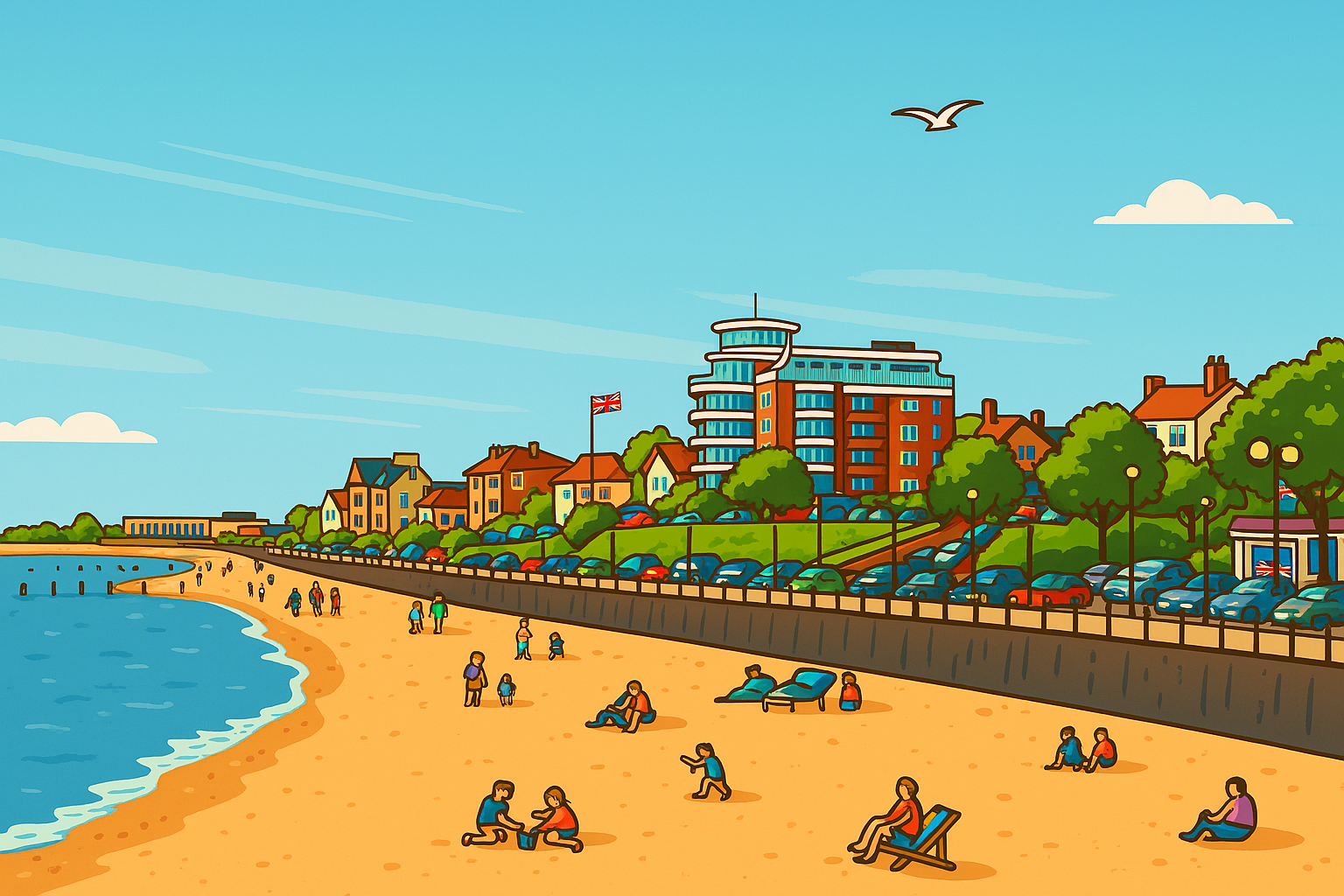
Cleethorpes Central Seafront Conservation Area
Declared: 1976, extended in 1998 and 2014
Area: 18.7 hectares
ADOPTED Cleethorpes Central Seafront Conservation Area Appraisal and Management Plan (PDF)
Cottagers Plot Conservation Area, Laceby
Declared: 1977
Area: 7.4 hectares
Map of the Cottagers Plot conservation area (PDF)
Great Coates Conservation Area, Grimsby
Declared: 1972, extended in 1993
Area: 50.3 hectares
The following buildings are covered by an article 4 direction:
3-17 (odd) The Avenue, 6-10 (even) The Avenue, 15-22 (consecutive) Cooks Lane, Manor House Cooks Lane, Midfield House Cooks Lane.
Map of the Great Coates conservation area (PDF)
Article 4 direction – Great Coates (PDF)
Holme Hill Conservation Area, Grimsby
Declared: 2009
Area: 5.8 hectares
Map of the Holme Hill conservation area (PDF)
Humberston Conservation Area
Declared: 1976
Area: 12.18 hectares
Map of the Humberston conservation area (PDF)
Humberston Fitties Conservation Area
Declared: 1996
Area: 25.8 hectares
The following buildings are covered by an article 4 direction:
All buildings with the exception of Chalets: 1, 86, 87, 88, 89, 90, 163, 179, 227b, 228a, 228b, 229a, 229b, 260, 302, 304, 305, 306, 307, 308, 310, 312, 313, 314, 315, 316, 318, 319, 321, 323, 323b, 325
Map of the Humberston Fitties conservation area (PDF)
Article 4 direction – Humberston Fitties (PDF)
Irby upon Humber Conservation Area
Declared: 2009
Area: 25.5 hectares
Map of the Irby upon Humber conservation area (PDF)
The Kasbah Conservation Area, Grimsby
Declared: 2017
Area: 2.44 hectares
ADOPTED – Kasbah Conservation Area Statement (PDF)
Laceby Conservation Area
Declared: 1977
Area: 5.6 hectares
Map of the Laceby conservation area (PDF)
Mill Road Conservation Area, Cleethorpes
Declared: 1976
Area: 4.5 hectares
The following buildings are covered by an article 4 direction:
Mill Road, Cleethorpes: 76-90 (even), 95 & 97, 112, 118-124 (even), 123 & 125, 130-136 (even), 131, 135, 143-153 (odd), 161-165 (odd), 175, The Mount, The Rookery.
Map of the Mill Road conservation area (PDF)
Article 4 direction – Mill Road (PDF)
Old Clee Conservation Area, Grimsby
Declared: 1972, extended in 1984
Area: 13.3 hectares
Map of the Old Clee conservation area (PDF)
Scartho Conservation Area, Grimsby
Declared: 1972, extended in 1993 & 2009
Area: 43.8 hectares
Map of the Scartho conservation area (PDF)
Victoria Mills Conservation Area, Grimsby
Declared: 1990
Area: 5.1 hectares
Map of the Victoria Mills conservation area (PDF)
Waltham Conservation Area
Declared: 1976, altered in 2015.
Area: 10.23 hectares
ADOPTED Waltham Conservation Area Appraisal and Management Plan (PDF)
Wellow Conservation Area, Grimsby
Declared: 1972, extended in 1993, 2009 and 2016
Area: 84.78 hectares.
Map of the Wellow conservation area (PDF)
46 St Peter’s Avenue
Subject to an Article 4 Direction which removes the right to demolish the building without planning permission.
Local Lists differ from National Designations in that they act simply as points of reference, and usually cover assets of lesser importance. Local Listing does not impose any restrictions upon a historic asset, nor does it give additional protection from harm.
The intention behind compiling Local Lists is to raise awareness of the importance of the assets covered and provide information to developers, planners and the public. The Local Lists provide an important middle ground between the extensive Historic Environment Record, which attempts to record all historic assets whether of special interest or not, and the National Designations which have strict criteria and must be of national interest.
Local Lists are adopted by the Council through the Cabinet and are a material planning consideration.
At present Local Lists exist for:
- Great Grimsby (PDF)
- Villages of Grimsby (Old Clee, Weelsby, Great and Little Coates, and Scartho) (PDF)
- Cleethorpes (Word)
- Immingham and the villages (including Ashby cum Fenby, Aylesby, Barnoldby le Beck, Beelsby, Bradley, East and West Ravendale, Habrough, Hatcliffe, Hawerby cum Beesby, Healing, Humberston, Immingham, Irby upon Humber, Laceby, Stallingborough, Waltham and Wold Newton)
- The Southern Marshes (Word)
- The Northern Marshes (Word)
- The Wolds (Word)
- Historic landscape character types for Aylesby, Barnoldby le Beck, Bradley and Laceby (PDF)
- Historic landscape character types for Cleethorpes (PDF)
- Historic landscape character types for Grimsby and Great Coates (PDF)
- Historic landscape character types for Humberston and New Waltham (PDF)
- Historic landscape character types for Immingham, Stallingborough, Habrough and Healing (PDF)
- Historic landscape character types for Waltham, Ashby cum Fenby and Brigsley (PDF)
- Historic landscape character types for the Wolds Parishes of North East Lincolnshire (PDF)
Discover Cleethorpes Heritage is a four year Townscape Heritage (TH) programme launched in 2018. The scheme is supported by £1.9m from the Heritage Lottery Fund (HLF) and £1m from North East Lincolnshire Council (NELC). This investment will help to breathe new life into historic buildings and public realm within the Cleethorpes Central Seafront Conservation Area by offering;
- An opportunity for historic building owners/occupiers to apply for generous grants to repair their properties, allowing historic details, like shop front, iron balconies and windows to be repaired or reinstated
- Improvements to some public areas
- An opportunity for students, building owners and contractors to learn traditional building conservation skills
- A chance to learn about the history of the area, through local exhibitions, guided tours and volunteering opportunities
The National Lottery Heritage Starter Fund has now closed with 15 projects being funded in total, with awards of between £500 and £10,000. The following have received National Lottery Heritage Starter Fund money:
- Visitor, Economy, Services and Retail Group CIC (VESR): ‘The Vikings are Coming!’
- Foresight in Partnership with WEA: ‘Documenting my Ability’
- Historic Motor and Sail (HMS): Tea with Spider T
- Our Big Picture: Great British Fish and Chips – Grimsby Chapter
- Capacity Buildings Limited: ‘Capturing Cleethorpes Culture’
- Steve Thornton Photography with Pastures Development Company Ltd.: FISH TOWN 1990 to 2022. The EU Years
- Linkage Community Trust: Exploring Weelsby Hall’s Heritage and Environment
- Grimsby Town Sports and Education Trust: History of Grimsby Town
- Heritage Trust of Lincolnshire: The Remarkable Legacy of Edward Watkin, ‘Mr Grimsby’
- The Fitties CIC: Highlighting Humberston Fitties Heritage
- East Marsh CIC: Street Name Stories
- Lincolnshire Bird Club: Survey of birds of North East Lincolnshire from the earliest times to the present (development work)
- West Marsh Development Trust: The Untold Stories and Memories of The West Marsh
- The Culture House: Local Legends – Rod Temperton
- Welholme Works: Restoring Our Street Pride
- Grimbarians CIC: Grimbarians x RNLI
- Freeman Street Market with Pastures Development Company Ltd.: We are the Docks.
You can find out more about these projects in our press releases:
- Heritage cash being made available to local organisations – 1 November 2021
- More heritage cash being made available to local organisations – 2 December 2021
- More heritage cash awarded to local organisations – 9 March 2022
- More heritage cash awarded to local organisations – 8 July 2022
Following this, 3 projects have gone onto successful National Lottery Heritage Fund totalling £590,000+ . You can read more about these projects.
Additionally NELC is working in partnership with Heritage Lincolnshire to o build a strong, diverse and vibrant heritage network for the region. Find out more on Heritage Lincolnshire – North East Lincolnshire Heritage Network.
Humberston Fitties archive information
This section contains information from before the management handover on 4 October 2017.
The day to day management of the Humberston Fitties is carried out by Tingdene Holiday Parks.